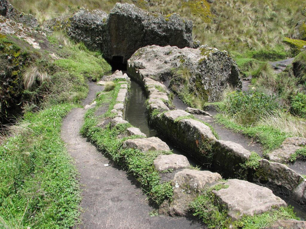
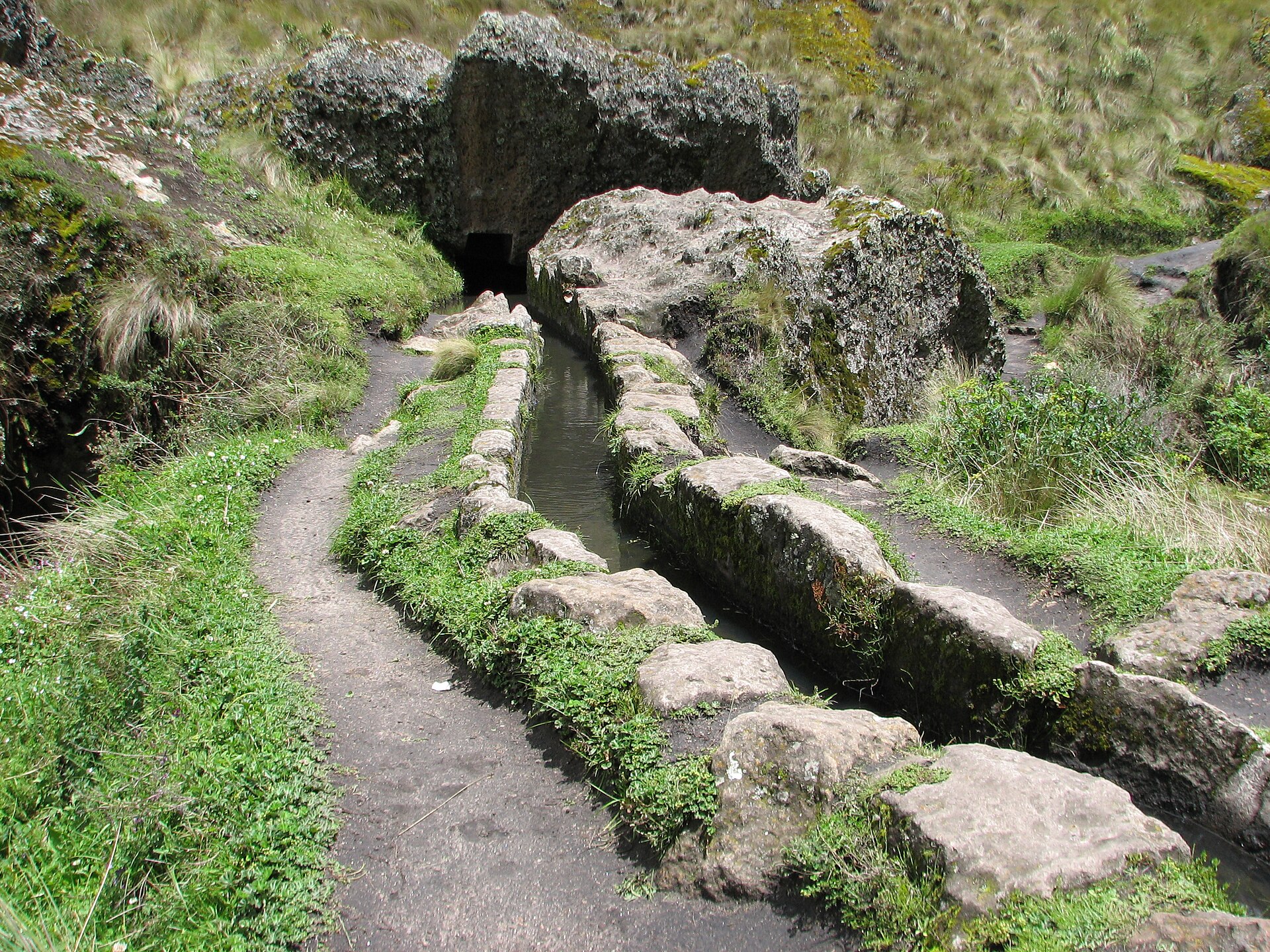
About 3,000 years ago, people in the Andes cut a water channel straight into volcanic rock. It still runs across the hills above Cajamarca today. This is Cumbemayo, an ancient Andean water channel that you can still walk beside.
Below, we cover what Cumbemayo is, what you will see and the best way to reach it from town. A quick note: we are an independent blog and not the official peru.travel site. Every fact here was checked against the tourism inventory kept by MINCETUR, Peru’s tourism ministry.
What Is Cumbemayo?
Cumbemayo is an archaeological complex about 20 km southwest of the city of Cajamarca. It sits at around 3,500 m above sea level, so expect thin and cold air.
According to MINCETUR, the site has three main parts: the aqueduct, the sanctuary and the caves. A striking forest of volcanic rocks also surrounds it.
Ernesto de la Puente found the site in 1937. That same year, the famous Peruvian archaeologist Julio C. Tello visited it. In fact, Tello called the aqueduct a gigantic work, unique of its kind.
Cumbemayo at a Glance
| Fact | Detail |
|---|---|
| Location | Magdalena district, Cajamarca region |
| Distance from Cajamarca | About 20 km southwest |
| Altitude | About 3,500 m |
| Age of the aqueduct | Early Cajamarca culture, around 1000 BC |
| Visitable section | First 850 m of the canal |
| Opening days | Tuesday to Sunday |
| Opening hours | From 7:30 in the morning until 5:30 in the afternoon |
| Entry | Ticket required |
The Cumbemayo Aqueduct
The aqueduct is the star of the visit. MINCETUR dates it to the early period of the Cajamarca culture, around 1000 BC.
It is an open canal carved into volcanic rock. Most of it runs in straight lines. However, in some parts it turns at sharp right angles. These turns were probably made to slow the water down.
The canal also has a very gentle slope. Its width ranges from 0.35 to 0.50 m. Its depth goes from 0.30 to 0.65 m.
Water That Crosses the Continental Divide
Here is the clever part. The canal collected water from hills on the continental divide. Then it carried that water from the Pacific side toward the Atlantic side, and down to Cajamarca.
The total length is estimated at about nine kilometers. Still, visitors can only walk along the first 850 m, measured from the intake.
The Sanctuary, the Caves and the Stone Forest
The Sanctuary
The sanctuary is a rock cliff that looks like a giant human head. Where the mouth would be, there is a small cave about 2.5 m wide. Its walls are covered with low-relief carvings.
The Caves
The nearby caves, or rock shelters, also have carvings. Their lines look similar to those on the aqueduct. Among them, you can make out some human and feline figures.
The Stone Forest
Around the site stands a “forest” of volcanic rocks shaped by erosion. These tall rocks are known as Los Frailones, or the Stone Monks. As a result, the walk feels like a trip through a natural sculpture park.
How to Get to Cumbemayo from Cajamarca
MINCETUR lists two ways to get there:
- By tour bus: from the main square of Cajamarca, via Santa Apolonia hill. It is about 20 km and takes around 45 minutes.
- By public bus: from the stop for buses to Chetilla, on Av. Perú, block 1. The road is unpaved, and the ride takes about one hour.
Many travel agencies in Cajamarca offer guided tours in Spanish and English. So if you prefer not to deal with buses, a tour is the simplest choice.
Practical Tips for Your First Visit to Cumbemayo
Opening Hours and Tickets
MINCETUR lists Cumbemayo as open all year, from Tuesday to Sunday. Gates open at 7:30 in the morning and close at 5:30 in the afternoon. You need a ticket to enter.
Altitude and Weather
At 3,500 m, the air is thin. If you just arrived from the coast, take it slow. For simple ways to feel better up high, see our page on altitude sickness in Peru.
MINCETUR also recommends warm clothes, since it can get cold. In addition, bring sunscreen, water and good walking shoes.
Food and Services
Inside the site, local families run small food and drink kiosks. Hotels, restaurants and other services are in the city of Cajamarca.
Respect the Site
Cumbemayo was declared Cultural Heritage of the Nation in 1994. MINCETUR notes it lacks signage and needs more conservation work. Therefore, stay on the paths and never touch the carvings.
Where Cumbemayo Fits in a Northern Peru Trip
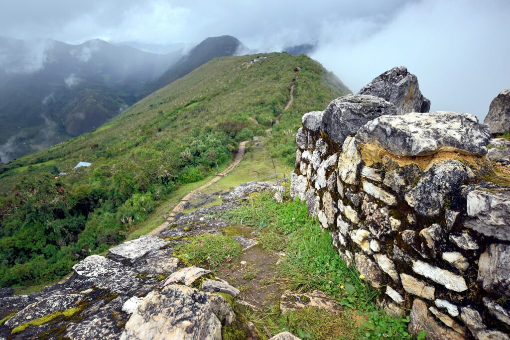
Cumbemayo works well as a half-day trip from Cajamarca. If you are exploring the north, you can also add the Kuelap fortress to your route. Buses and flights between regions are covered in our getting around Peru.
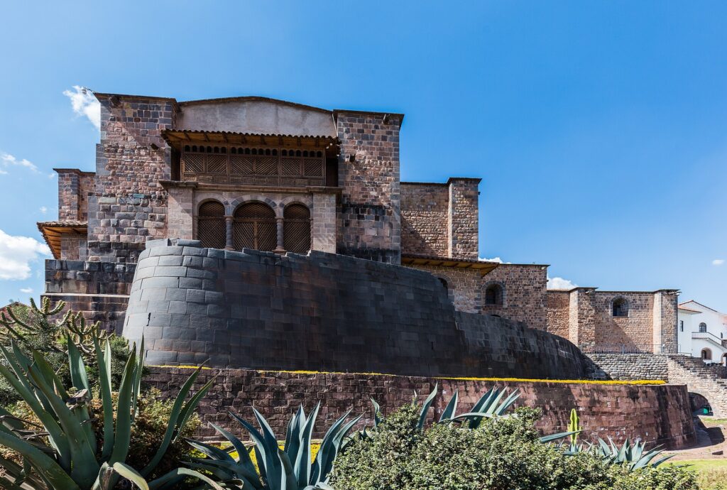
Most first trips to Peru also include Cusco. Fullviajes has ready-made tour packages for Cusco and Machu Picchu for that leg. With more time, a 13-day route through Lima, Machu Picchu and Lake Titicaca is another option.
Before You Head Out
Cumbemayo shows how early Andean people moved water across a mountain range. Go early, dress warm and walk slowly. You will see engineering that has lasted about 3,000 years.